
In 2023, 250 pedestrians were killed on North Carolina roads (Source: NCDOT Crash Facts).

A key strategy to the Safe Systems approach is to separate people in time and space. In this case, that means keeping pedestrians from sharing the same space at the same time as multi-ton motor vehicles.

Pedestrian Safety Infrastructure


Sidewalks
 

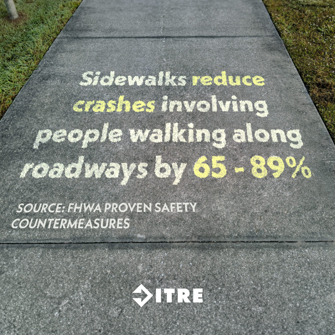
66% of fatal pedestrian/bicycle crashes on North Carolina roads occurred where no sidewalk was present (Source: NCDOT VRU Data Viewer).

Pedestrian Crossing Island

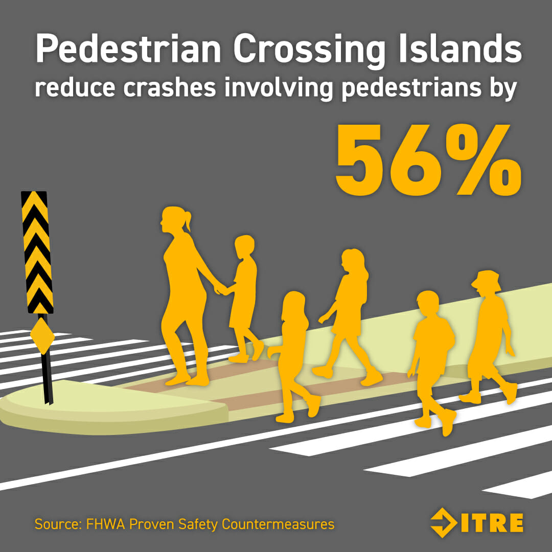
Nearly 3/4 (75%) of crashes where a pedestrian was seriously hurt or killed happened when they were crossing the street outside of intersections (2015 – 2019; NC Pedestrian Crash Types, HSRC).

Leading Pedestrian Intervals

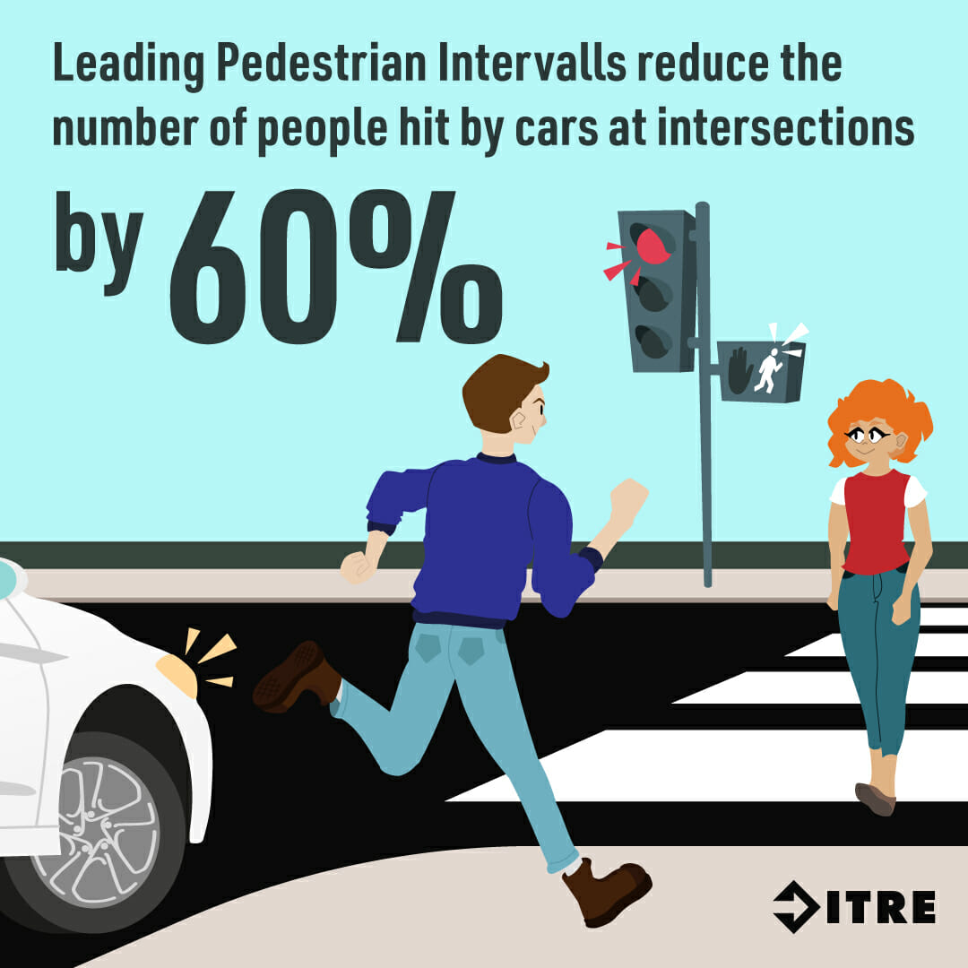
Between 2015 – 2019, 86 pedestrians were killed by drivers turning at an intersection (2015 – 2019; NC Pedestrian Crash Types, HSRC).

Speed Kills


The faster a vehicle is traveling, the more severe injuries will be in a crash. This is especially true for pedestrians.

If a driver is traveling 32 mph and they hit someone walking, that pedestrian has a 75% chance of surviving. If that same person was hit at 42 mph, they only have a 50% chance of surviving.

Count People When You Travel

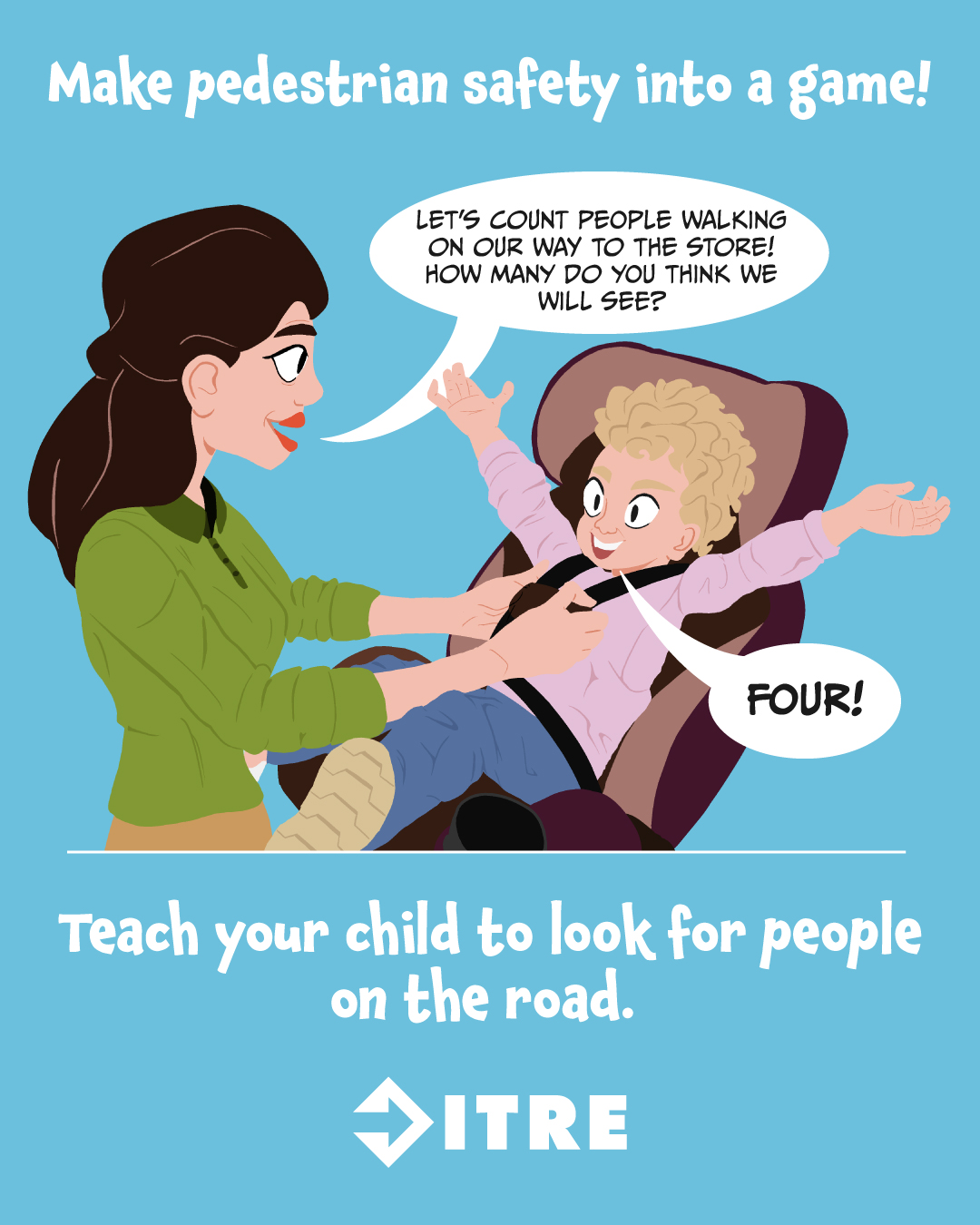
We are much more likely to see something if we’re actively looking for it. Play a little game before you travel by trying to guess how many people you will see walking. As you travel, count them and see if your guess was correct. Making this a habit will help you to pay attention and always look for pedestrians.


Social Media Images

Show your support for safe streets by sharing these images online.

Use #NCVisionZero and tag our pages on:

Resources

Facet Content Card Image

Maps & Data, Outreach & Educational Materials

Pedestrian Safety Page

Resource

Facet Content Card Image

Graphics, Outreach & Educational Materials

Safe Routes to School Social Media Graphics

Images

Facet Content Card Image

Articles

Walking, Biking to School Keeps Kids Happy, Healthy, and Focused

Resource

Facet Content Card Image

Maps & Data

Vulnerable Road User Safety Assessment

Resource

Facet Content Card Image

Graphics, Outreach & Educational Materials, Toolkit

Spanish Version: Safe Routes to School Social Media Toolkit

Resource

Facet Content Card Image

Graphics, Outreach & Educational Materials, Toolkit

Safe Routes to School Social Media Toolkit

Resource

Facet Content Card Image

Graphics, Outreach & Educational Materials

Pedestrian Safety Social Media Graphics

Images

Facet Content Card Image

Outreach & Educational Materials, Posters

“Slowing Down Saves Lives” – Speed Prevention Poster

Poster

Facet Content Card Image

Outreach & Educational Materials, Posters

“Look for People When Turning” – Pedestrian Safety Poster

Poster

Facet Content Card Image

External Partners & Experts

Pedestrian and Bicycle Information Center

Website

Facet Content Card Image

Outreach & Educational Materials, Videos

Pedestrian Safety Videos (YouTube Playlist)

Youtube

Facet Content Card Image

Guide, Outreach & Educational Materials, Toolkit

Let’s Go NC: Pedestrian and Bicycle Safety Skills Program for Healthy, Active Children

Resource

Facet Content Card Image

External Partners & Experts

Bike Walk NC

Website

Facet Content Card Image

External Partners & Experts

Watch for Me NC

Website

Frequently Asked Questions

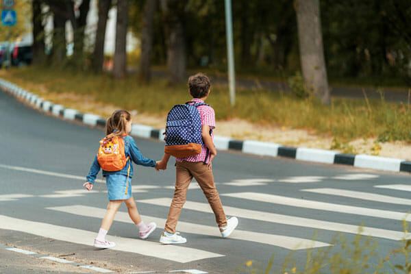
Where is the safest place to walk?

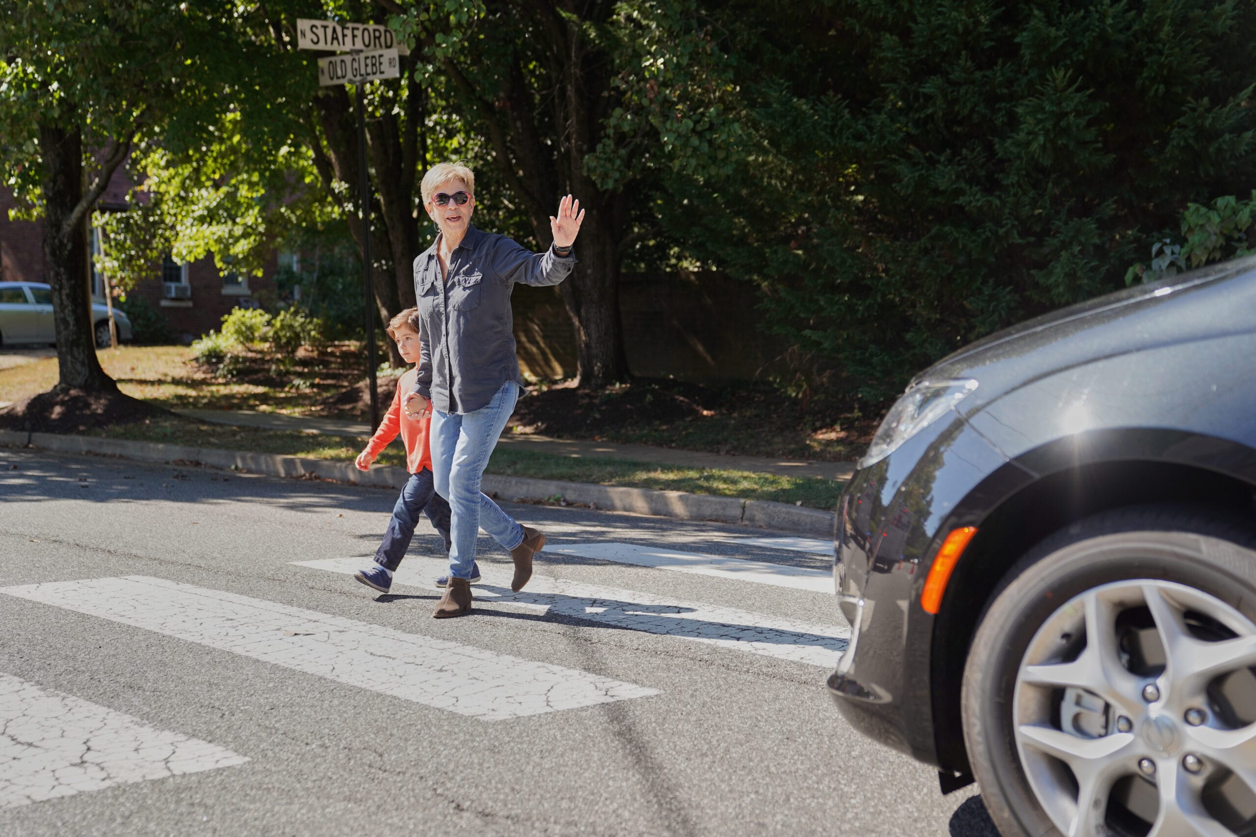
If there is a sidewalk, that is the safest place to walk. If there isn’t a sidewalk, walk facing traffic and as far away from the road as possible.
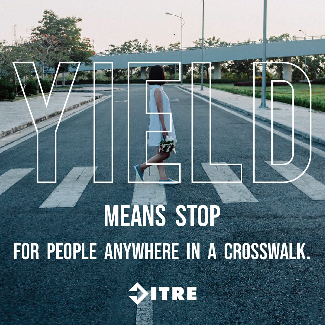
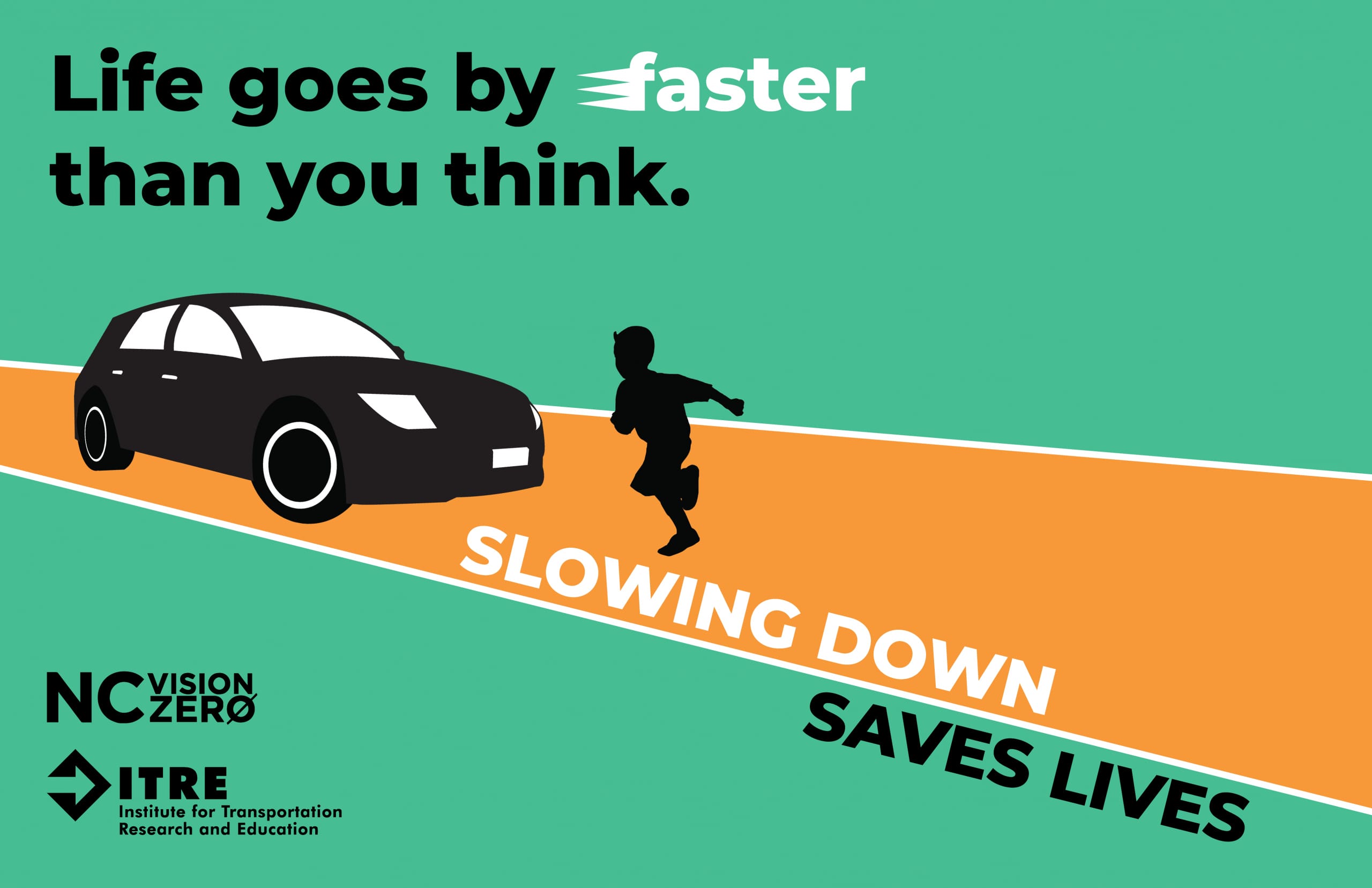
Learn more about the
Vision Zero Initiative